Explore the key areas of my Geographic Information Systems expertise.
Global 3D Marine Navigation System
GIS Development
Project Lead
Developed tools to generate 3D cartographic datasets and ActiveX map controls, enabling digital marine navigation and device integration.
Tools:
GIS
3D Data
ActiveX
C++
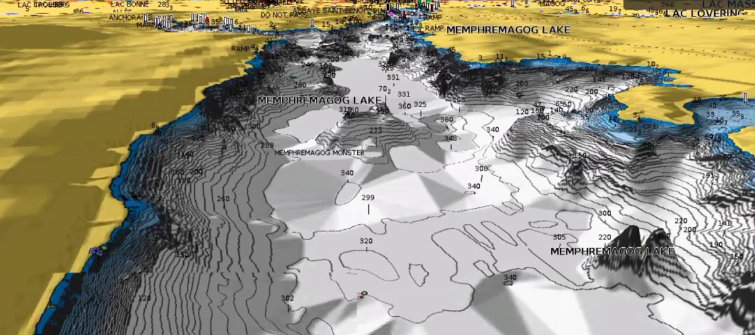
Navionics Marine Navigation - 3d Charts
GIS
GIS Specialist
Managing large-scale spatial databases, Performance tuning, while generating the Whole world 3D data.
Tools:
SQL
Database Design
Performance Tuning
3D Data
ROAM

Streets & Trips
GIS
GIS Analyst
Performing complex raster and vector analysis to solve environmental, urban planning, and logistical challenges. Proficient with tools like GeoPandas, Rasterio, and QGIS.
Tools:
.net
C++
MFC
GIS
GPS
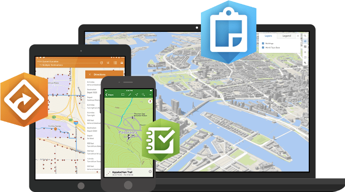
LandScaper Application
GIS Development
Lead Developer
Developed an application for landscapers to navigate customer locations, capture new customer preferences, document yard flora and fauna, and define applicable service offerings.
Tools:
ArcGIS
React
Node.js
PC Platinum Viewer & PC Planner
GIS
Data Engineer
Tools:
GIS
VC++
C++
Navionics Propritory Libraries