
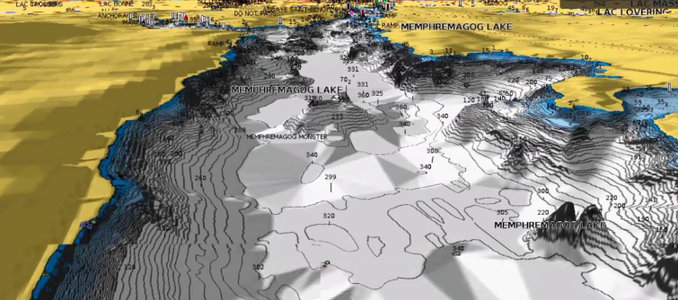
Navionics Marine Navigation - 3d Charts
GIS
GIS Specialist
Project Overview
Managing large-scale spatial databases, Performance tuning, while generating the Whole world 3D data.
Detailed Description
Extensive experience in designing, implementing, and managing large-scale spatial databases.
- Created optimal database schemas for spatial data.
- Implemented advanced spatial indexing for performance.
- Wrote complex
- high-performance SQL queries to support real-time data retrieval and sophisticated geospatial analysis for enterprise-level applications.
- Created Custom ROAM format to optimally Save and load 3D Data
Key Technologies
SQL
Database Design
Performance Tuning
3D Data
ROAM
Challenges & Solutions
Optimizing complex spatial queries for performance on terabyte-scale datasets was a major challenge, requiring advanced indexing strategies and query rewriting.