
LandScaper Application
GIS Development
Lead Developer
Project Overview
Developed an application for landscapers to navigate customer locations, capture new customer preferences, document yard flora and fauna, and define applicable service offerings.
Detailed Description
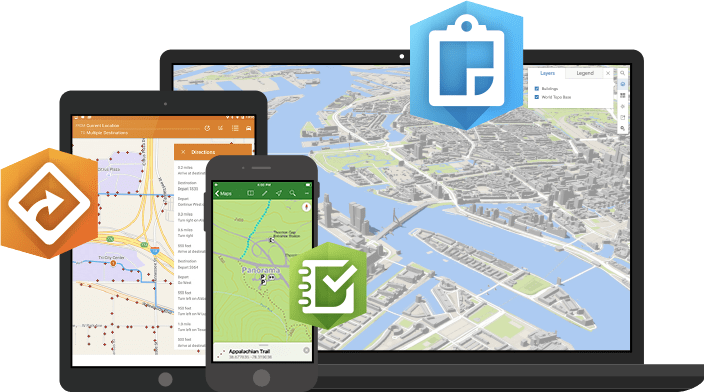
Led the development of a custom GIS application for the landscaping industry.
- Provided field workers with GPS navigation to customer sites.
- Included tools to capture new customer requirements digitally.
- Allowed for photo documentation of yard flora and fauna.
- Featured on-site quoting for service offerings
- significantly improving operational efficiency.
Key Technologies
ArcGIS
React
Node.js
Challenges & Solutions
The main challenge was building an intuitive mobile-first user interface for field workers that integrated real-time location tracking and offline data synchronization capabilities.